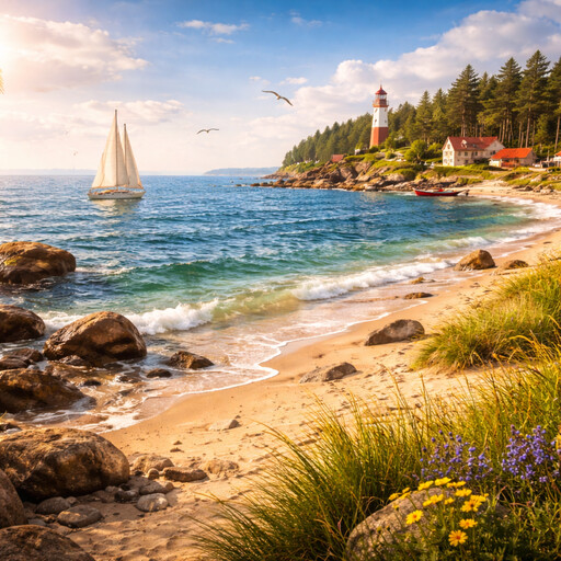
The Danube River is a long river in Europe. It is the second-longest river on the continent, after the Volga River. The Danube begins in the country of Germany and flows eastward. It passes through many regions and cities before ending in the Black Sea. A river that flows into a sea is said to reach its mouth, which is the place where river water meets the sea. The Danube has played an important role in the history and geography of Europe.
The source of the Danube is in the Black Forest of southern Germany. A source is the place where a river starts. Two small rivers, the Breg and the Brigach, join together near the town of Donaueschingen to form the Danube. From there, the river flows through plains, valleys, and low mountains. The Danube travels through or along ten modern countries. These include Germany, Austria, Slovakia, Hungary, Croatia, Serbia, Romania, Bulgaria, Moldova, and Ukraine. It is the river that passes through the most countries in the world.
Many large cities are located along the Danube River. These cities grew near the river because rivers provide water, food, and transport. Vienna, the capital of Austria, lies on the Danube. Bratislava, the capital of Slovakia, is also beside the river. Budapest, the capital of Hungary, is divided by the Danube into two main parts. Other cities, such as Belgrade in Serbia, also stand where the river meets another river. A place where two rivers meet is called a confluence.
The Danube River has been used as a route for travel and trade for many centuries. Trade means the exchange of goods. Boats and ships can move along the river, carrying items such as grain, wood, and metal. In the past, the river marked borders between empires and regions. The Roman Empire once used the Danube as a northern boundary. A boundary is a line that marks the edge of an area. Forts and towns were built along the river to guard this border.
The river is also important for nature. Many plants and animals live in and around the Danube. Near its mouth, the river spreads out into the Danube Delta. A delta is a flat area where a river splits into many smaller channels before reaching the sea. The Danube Delta is one of the largest wetlands in Europe. Wetlands are areas of land that are covered with water for much of the year. Birds, fish, and other animals depend on this area for survival.
Today, the Danube River continues to be used for transport, water supply, and energy. Dams have been built along parts of the river to control water flow and produce electricity. Electricity made from moving water is called hydropower. At the same time, countries along the river work together to protect its water quality and natural life. The Danube remains a central feature of European geography, linking regions, cities, and cultures along its long course.
Danube River
Level
readlittle.com
Major river flowing across central Europe
What We Can Learn
- The Danube River is the second-longest river in Europe
- It flows through or along ten countries
- Many capital cities are located on its banks
- The river ends at the Black Sea in a large delta
Related Reads
Baltic Sea
Inland sea of northern Europe
Black Sea
Large inland sea between Europe and Asia
Mount Everest
Highest mountain on Earth
Niagara Falls
Large waterfalls on the U.S.–Canada border

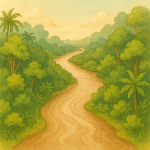
Amazon rainforest
Vast tropical forest in South America

Mount Kilimanjaro
Highest mountain in Africa

Yangtze River
Longest river in Asia
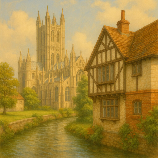
Canterbury
Historic English city and pilgrimage center
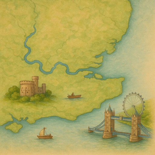
River Thames
England’s famous river through London
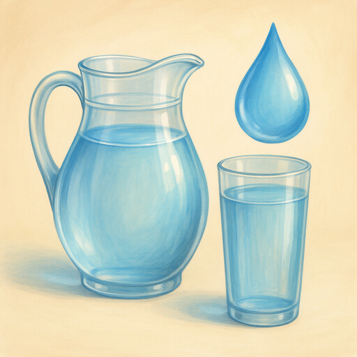
Water
Essential liquid for life on Earth
Amazon River
The mighty river of South America