Mount Roraima is a massive tabletop mountain, or tepui, straddling the borders of Venezuela, Brazil, and Guyana. Its sheer sandstone cliffs rise nearly 400 meters above surrounding rainforest, while the summit plateau stretches more than 30 square kilometers. Clouds frequently blanket the top, where strange rock formations, crystal pools, and carnivorous plants create landscapes that inspired Arthur Conan Doyle’s novel The Lost World. Indigenous Pemon and Kapon peoples call the mountain Roroi-ma, meaning “mother of all waters,” because many rivers begin on its slopes.
The tepui formed as part of the ancient Guiana Shield, with rocks dating back nearly two billion years. Weathering, heavy rainfall, and occasional frost sculpted stone pinnacles, natural arches, and small canyons on the summit. The only non-technical hiking route climbs from the Gran Sabana via a steep trail and final scramble up the cliff face. Porters, guides, and park rangers manage campsites to limit erosion, pack out trash, and protect fragile soils that host endemic species.
Mount Roraima’s summit supports unique ecosystems, including pitcher plants, sundews, tiny orchids, and rare frogs adapted to acidic soils and constant mist. Scientists study these organisms to understand evolution in isolated environments. The plateau also contains quartz crystals, natural pools known as jacuzzis, and sinkholes that reveal hidden caves. Because rainwater drains slowly through cracks, the surface forms braided streams that feed the Essequibo, Orinoco, and Amazon river systems.
Visitors typically spend six to eight days trekking from the village of Paraitepui, crossing savanna grasslands, rivers, and cloud forest zones. Guides teach Leave No Trace principles, explain Indigenous legends, and point out wildlife such as giant anteaters, harpy eagles, and colorful poison dart frogs along the route. On the summit, hikers explore landmarks like the Valley of Crystals, Maverick Rock, and the triple border marker where three nations meet.
Conservation challenges include illegal mining, unregulated tourism, and climate change affecting rainfall patterns in the Guiana Highlands. Governments and Indigenous councils cooperate to issue permits, train rangers, and collect visitor fees that fund trail maintenance. Researchers also monitor how warming temperatures might shift cloud cover, which could stress moisture-loving plants. Mount Roraima remains a symbol of biodiversity, cultural heritage, and adventure for those who respect its remote wilderness.
Mount Roraima
Level
readlittle.com
Tripoint tepui of the Guiana Highlands
What We Can Learn
- Mount Roraima is a sandstone tepui with a 30-square-kilometer summit plateau.
- Endemic plants, quartz pools, and strange rock formations evolved in isolation.
- Trekking routes from Paraitepui require guides, permits, and Leave No Trace habits.
- Rivers originating on the tepui feed the Essequibo, Orinoco, and Amazon basins.
- Conservation teams address mining threats, climate shifts, and visitor management.
Related Reads

Johann Gottfried Herder
German thinker of culture and language
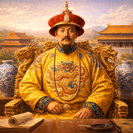
Ming dynasty
Chinese dynasty from 1368 to 1644
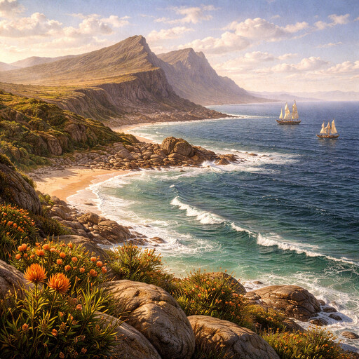
Cape of Good Hope
Southern headland of Africa
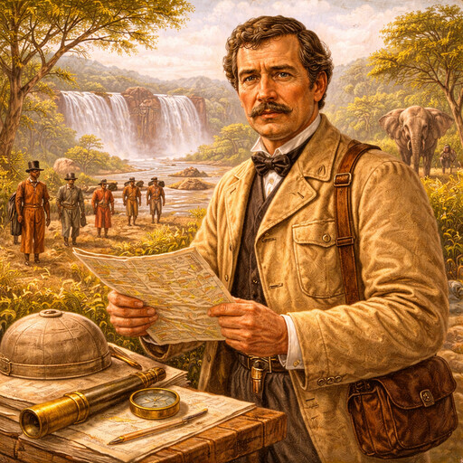
David Livingstone
Scottish explorer of Africa
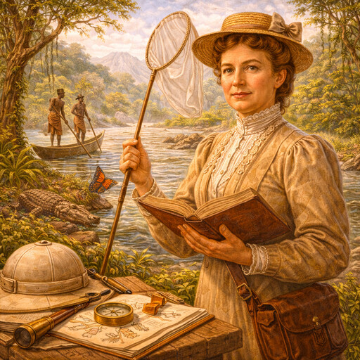
Mary Kingsley
British traveler and writer in West Africa
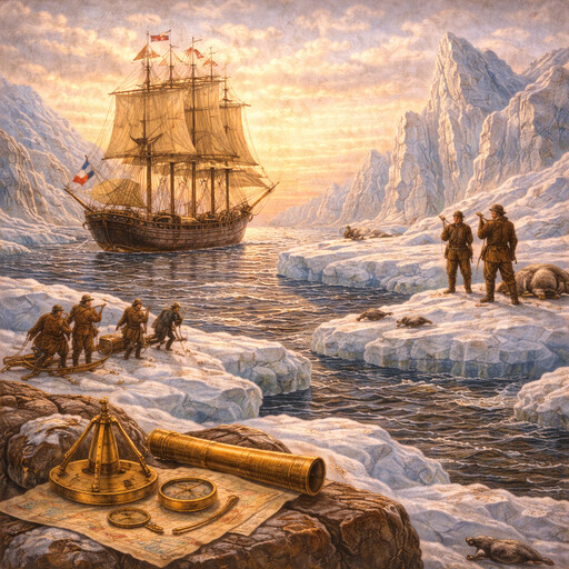
Northwest Passage
A sea route through Arctic waters

Louisiana Purchase
A land deal that doubled the United States

Lewis and Clark Expedition
Exploring the land west of the Mississippi
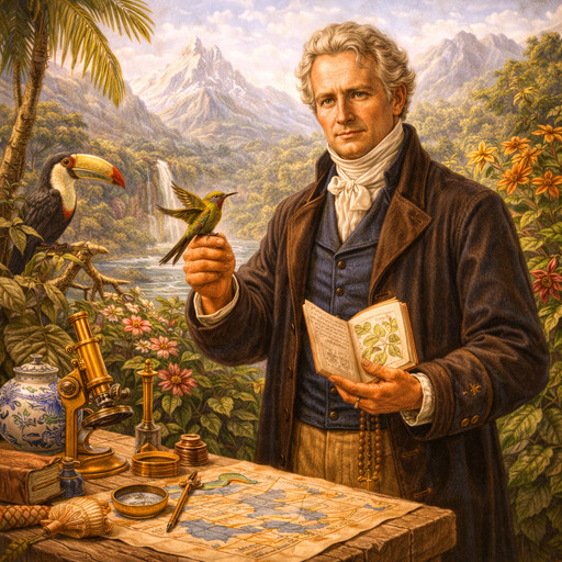
Alexander von Humboldt
Explorer of nature and the natural world
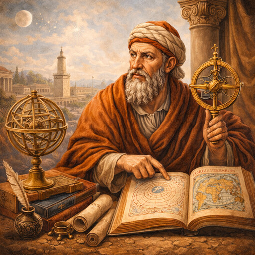
Ptolemy
Ancient scholar of astronomy and geography
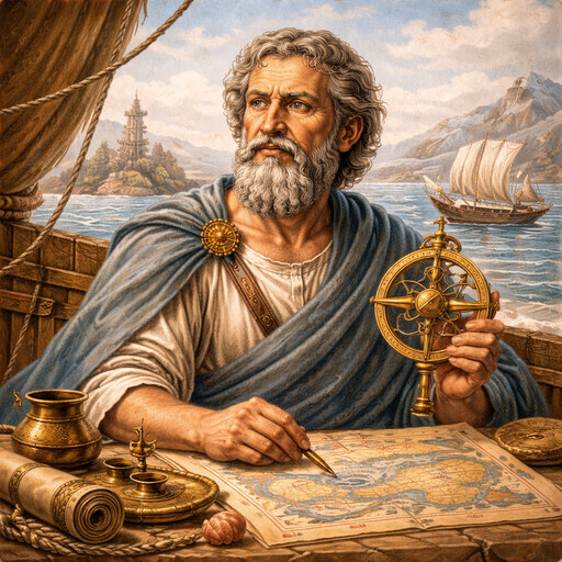
Pytheas
Greek explorer of the far north
Serbia
A country in Southeast Europe