The Cape of Good Hope is a rocky headland on the southern coast of Africa. A headland is a piece of land that sticks out into the sea. The cape lies in present-day South Africa, near the city of Cape Town. It is part of a long coastline where the Atlantic Ocean meets the Indian Ocean region. For many centuries, sailors saw the cape as an important point on sea routes. It marked progress on long journeys around Africa. The name became widely known during the age of European sea exploration.
Before European ships reached the area, the land around the cape was home to local people. These groups included the Khoikhoi, who lived by herding animals and moving with the seasons. They used the land for grazing and trade. When ships arrived, they found a coast with strong winds and rough seas. Early sailors feared this area. Storms were common, and waves could damage wooden ships. Because of this, the cape was first given a different name that reflected danger at sea.
In 1488, a Portuguese explorer named Bartolomeu Dias sailed along the African coast. He became the first known European to round the southern tip of Africa. To round a cape means to sail past it. Dias faced severe storms during his journey. Because of the weather, he called the area the Cape of Storms. Later, the Portuguese king renamed it the Cape of Good Hope. The new name showed hope for a sea route to Asia. This route allowed ships to travel without crossing land controlled by other powers.
The Cape of Good Hope became important for trade routes. Ships from Europe sailed around the cape to reach the Indian Ocean. From there, they traveled to places such as India and Southeast Asia. These journeys carried goods like spices, silk, and porcelain. Long voyages needed places to rest and resupply. The cape offered fresh water and land nearby. Over time, European powers took greater interest in the region. In the 1600s, the Dutch built a supply station near the cape. This later grew into Cape Town.
The cape itself is not the southernmost point of Africa. That point is Cape Agulhas, which lies farther southeast. However, the Cape of Good Hope remained better known because of its history and location. The area around the cape has steep cliffs, rocky shores, and strong currents. These natural features made sailing difficult. Today, the cape is part of a protected natural area. It is included in Table Mountain National Park. The park protects plants, animals, and coastline.
In modern times, the Cape of Good Hope is known as a historical and geographic place. It is visited by travelers who walk along paths and look out over the sea. Signs explain its role in sea travel and exploration. The cape no longer guides global trade routes, but it remains a symbol of early ocean travel. Its name reflects a period when sea routes connected distant parts of the world. The Cape of Good Hope continues to be linked with maps, navigation, and the history of sailing.
Cape of Good Hope
Level
readlittle.com
Southern headland of Africa
What We Can Learn
- The Cape of Good Hope is a headland in South Africa
- It became known during early sea exploration
- Bartolomeu Dias sailed past it in 1488
- It was important for trade routes around Africa
Related Reads
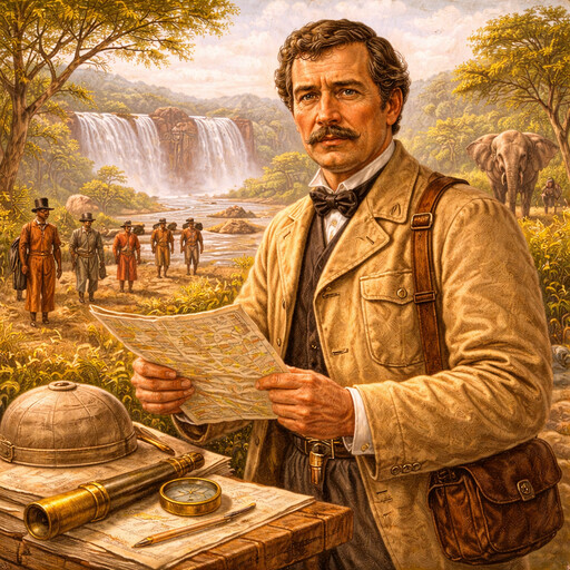
David Livingstone
Scottish explorer of Africa
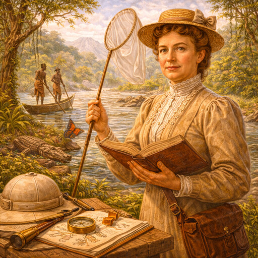
Mary Kingsley
British traveler and writer in West Africa

Louisiana Purchase
A land deal that doubled the United States
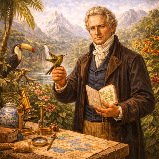
Alexander von Humboldt
Explorer of nature and the natural world
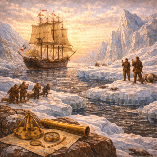
Northwest Passage
A sea route through Arctic waters

Lewis and Clark Expedition
Exploring the land west of the Mississippi
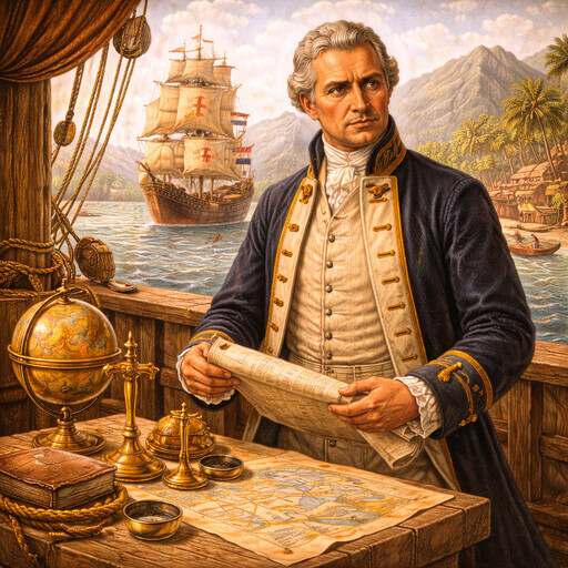
James Cook
British explorer of the Pacific Ocean
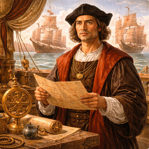
Christopher Columbus
European navigator who crossed the Atlantic
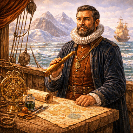
Henry Hudson
Explorer of northern seas and rivers
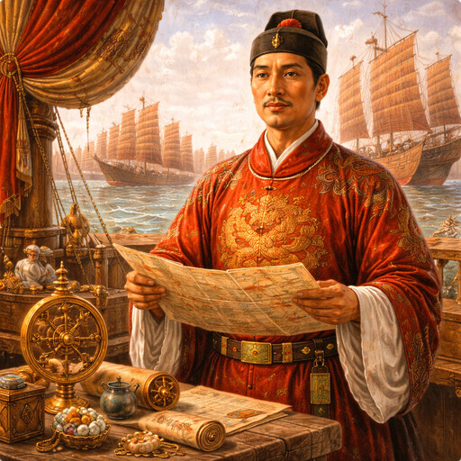
Zheng He
Admiral who led great ocean voyages

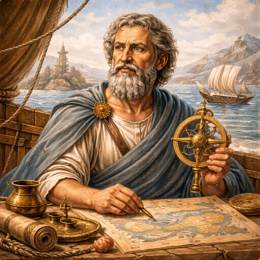
Ptolemy
Ancient scholar of astronomy and geography
Pytheas
Greek explorer of the far north